Wigwam Trail Colorado Hiking in Lost Creek Wilderness
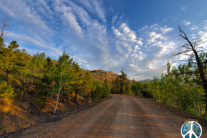
We start this adventure with the drive to the trail, it is a very beautiful trip in. Scenic Drive Lost Creek Wilderness FS-211
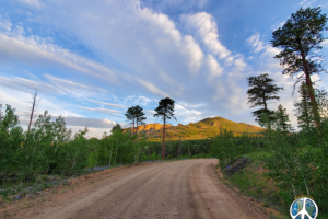
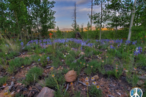
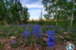
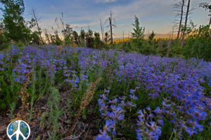
Turning off Tarryall Rd on to FS-211 heading north fifty four miles to Wigwam Trail Head. National Forest on this spring morning was a palette of wildflowers blooming as far as you could see in spots. This is a spring hike, I have hiked Wigwam Trail Colorado the first weekend in November one year as well. More on that later.
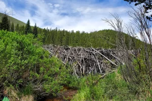
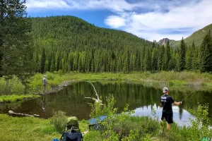
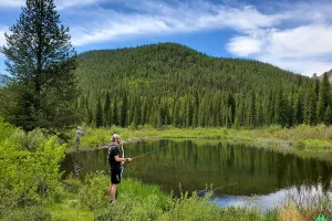
On top of the pass is one of the biggest beaver dams I have ever seen, photos coming in the gallery, I digress. Beaver pond has fingering brook trout that are fun to catch on a one weight fly rod. I would assume that there would be larger ones, but I have yet to catch one.
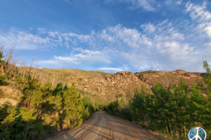
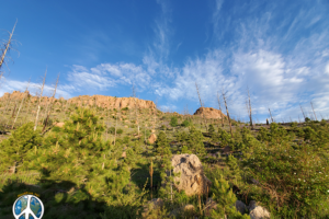
- Rock Formations along FS-211 in Pike National Forest are worth the drive to view even if you are not hiking.
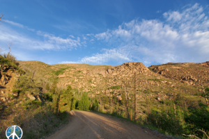
- Spring early light heading towards the trail head, brilliant green meadows
- Open forest great photo opportunities with wildlife passing by
- Forest Service Road 211 in Pike National Forest offers many destinations
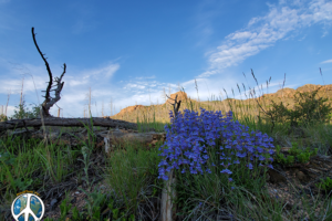
- Purple Wildflowers blanket the forest floor for miles, in the Pike National Forest
- Golden morning glow highlights distant mountains, glowing peaks
- Wildflowers enticed people to stop, lay out a blanket and have a picnic a once in a lifetime perhaps, Wigwam Trail Hike Scenic Drive Lost Creek Wilderness FS-211 Turning off Tarryall Rd on to FS-211 heading north fifty four miles to Wigwam Trail Head.
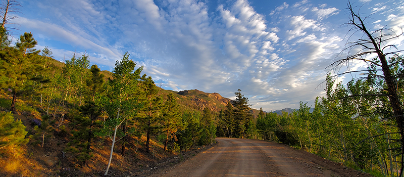
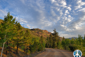
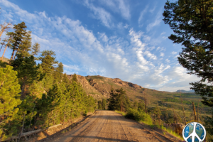
- Wigwam Trail Colorado Hike clouds a great highlights and back drop to the drive
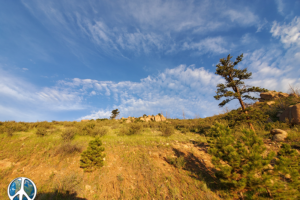
- Lost Creek Wilderness offers an artistic back drop of rock formations that are good for the imagination.
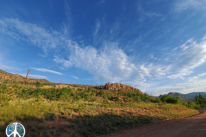
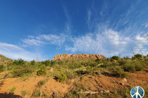
- Wisping Clouds and Rock Formation, as I travel forest service roads
- Fifty four mile journey on FS 211 Pike National Forest
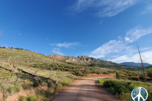
- Drive all the way to the turn off for Wigwam trail was beautiful with wildflowers, Rock Formations and Clouds. Forest Service Road 211 has very rough sections through out the system.
Wigwam Trail Colorado Drive On Forest Service Road 211
- Enjoying morning new greenness in the draws giving depth to surrounding landscape on Wigwam Trail Colorado drive
- Drinking coffee and eating a breakfast burrito from the local bakery, idling along FS 211 Pike National Forest
- Lava cooled into interesting formations, then add clouds and great lighting
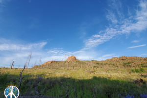
- Clouds with a few burnt trees thrown in for depth, the greenery helps a bit as well
- Wildflowers and mountains offer beautiful panoramas drive to Wigwam Trail Colorado
- Looking at the mountains, drawing on wonderment of volcanic activity back in the day as they were forming
- Rolling slowing down FS 211 taking in all the sights
Wigwam Trailhead Colorado Lost Creek Wilderness
This trip took a bit longer than it ought to, or it is as it is. Scenery and wildflowers were just amazing, like those once every so many years type of thing. Today is my second trip in on Wigwam Trail Colorado, located in the Lost Creek Wilderness. Wigwam Trail offer great camping or a loop hike in a few different directions with awesome destinations. Trail heads straight through to Lost Park Campground or take a left on Goose Creek Trail.
Wigwam Trailhead Colorado Directions From Salida
Well at least directions from where I am coming from. I left Salida, Colorado at sometime between 5 and 5:30 in the morning. Heading north on US-285 to taking the Y to the right through Hartsel, past turn off for Spiney Reservoir over pass for miles. Just before town of Lake George take a left on Tarryall Road.
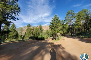
- Pulling down into the Wigwam Trail Head, to venture into Lost Creek Wilderness
- To park stay to the right, on this day at 7 am the parking area was full, so your next option is to park along the road.
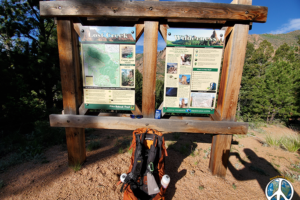
- Trail Head sign, Lost Creek Wilderness information with a map, and a selfie of my backpack
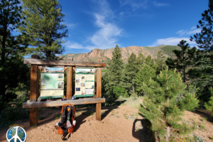
- View of Rock wall behind trail information sign at trail head
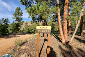
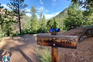
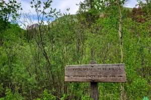
- Wigwam trail sign at trailhead, I was wearing Optic Nerve sunglasses at the time. Thought they looked good on the sign.
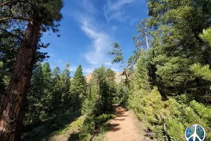
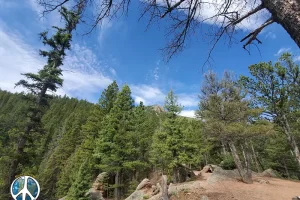
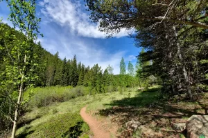
- Wigwam is a well travel trail with great panoramas and forest meadows.
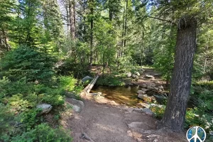
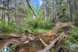
- Wigwam trail crosses Wigwam creek and follows the creek up to its headwaters
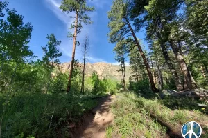
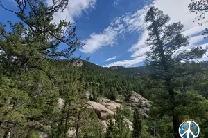
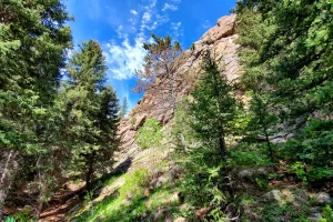
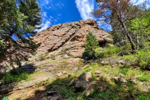
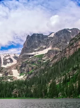
- Distant cliffs, the rock formation in Lost Creek Wilderness are super cool
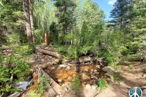
- Approaching Wigwam Creek for the second crossing before following it up the trail
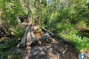
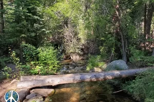
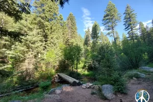
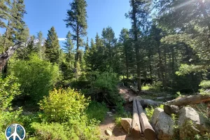
- Logs over Wigwam Creek for a make shift foot bridge
- Lost Creek Wilderness ahead on Wigwam Trail
- Entering wilderness a small wilderness area of a 119,790 acres.
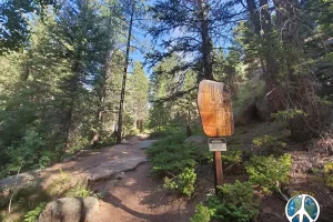
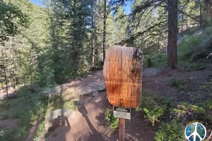
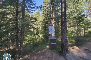
- Wilderness sign in box for your safety, in case you happen to get lost or if rock climbing and have a fall you can be found
- Over the creek log crossings coming up again this is the last one till the junction of Goose Creek Trail
- And over I go
- On the other side the forbidden zone, home of Sasquatch
- Looking down into canyon with Buffalo Peak in the Distance
- Over look camping area just off the trail
- Oops another Wigwam Creek Crossing, this is the last one till Goose Creek Junction
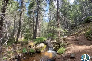
- Wigwam Trail climbs next to Wigwam Creek through a narrow canyon
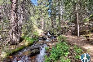
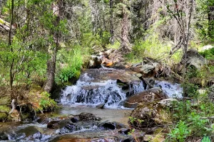
- Wigwam Creek is a small rolling tumbling stream flowing down to the South Platte River
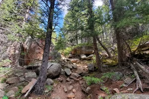
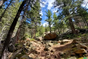
- Climb to the upper meadow starts here, its fairly easy, few really cool rock formations
- Couldn't really ask for a nicer spring day than this
- Wigwam creek has a few drops due to gradation on the way up
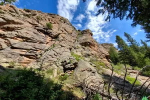
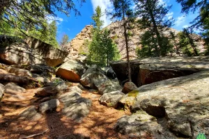
- One cool formation after another, very interesting how the molten rock cooled down
- Short narrow canyon Wigwam Trail passes through on the way up to the pass
- Coming out of the canyon, layering of the rock formations really add a dramatic effect to the landscape, Lost Creek Wilderness has such an interesting topography
- On another trip I think it would be fun to get off trail and explore the formations more
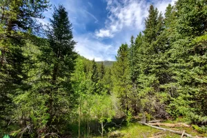
- Upper meadow is a wide valley of marsh and forest
- Distant peak across the valley
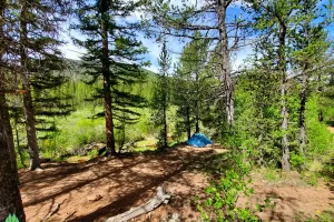
- Upper meadow offers lots of great camping opportunities for a great weekend or through hike
- Beaver dam is around eight in height. One of the tallest I have ever encountered
- Caught several very small brook trout
- Fly fished all the way around the circumference. You would think there would be some at least 12 inches instead all were 4 to 6 inches.
- Junction of Goose Creek Trail goes down through refrigerator canyon, There is an old ghost town where they once tried to build a dam before it was designated a wilderness area
Wigwam Trail Colorado Lost Creek Wilderness
There are a plethora of destinations in Lost Creek Wilderness. You can do a test loop hike of 37 miles in preparation of doing the Colorado or Continental Divide Trail. Or do the Loop for the shear beauty of it, and it’s a beautiful trip.
On this hike I used 3 camera’s. I will be adding more images as the moon phases cross the horizon and the year passes. My base pack weight with cameras, lenses, battery packs, and solar panel is usually about 20 pounds. Then I had my tent, water, food, so a section hike I can be up around 45 to 50 pounds. A ultralight through hiker I would struggle with. Not really my thing. I am out here to enjoy nature and to capture it’s beauty.
In Colorado, Road Trip to Montana
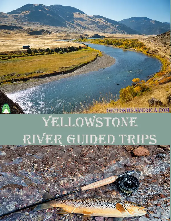
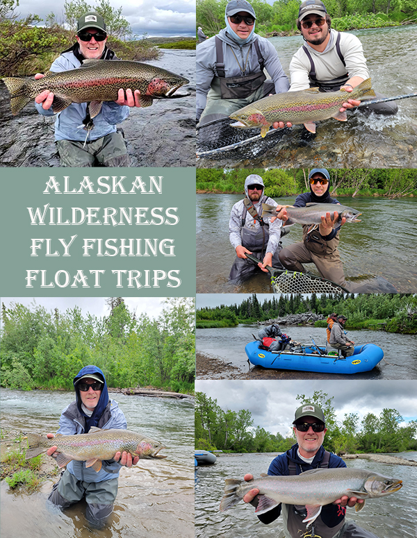
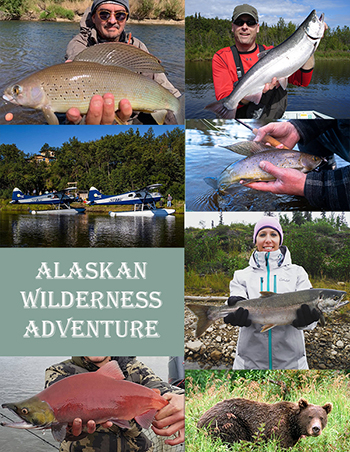
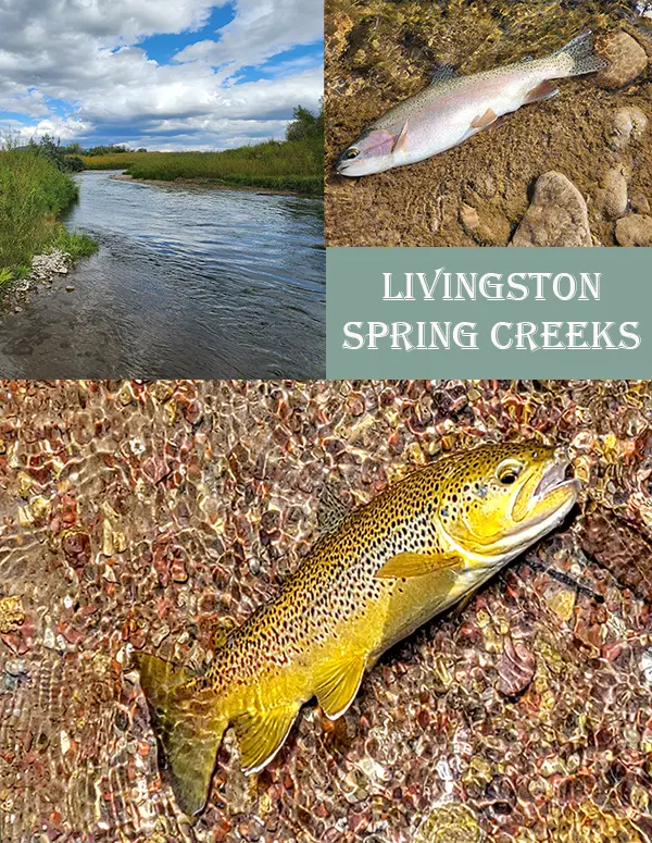
Lots to see and do, by taking the blue highways of Colorado, Wyoming and Montana, for a Montana visit. Lots of great stops along the way from Dinosaur National Park, Tetons, right on through Yellowstone National Park for a guided Montana fly fishing trip. Or hop a plane for an Alaskan Wilderness Adventure. Float remote Alaskan rivers, sleeping in tents or fly in by float plane to a wilderness resort.
Colorado Montana Outdoor Apparel
I have spent a lot of time over the last forty years hiking, hunting, backpacking and fly fishing both states and all points in between. Let me tell you the wind blows equally as hard in both. I will have to say Montana’s below zeros are more extreme than Colorado’s. Now spring time mountain snows in Colorado are hard to beat. I shovel eighteen inches plus several times over seven year period I was living at nine thousand feet.


